


Boucle Morne Ceron - Macédoine - Moreau

Lamartiniere
User GUIDE
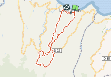

Length
12.4 km

Max alt
361 m

Uphill gradient
493 m
Km-Effort
19 km

Min alt
13 m

Downhill gradient
495 m
Boucle
Yes
Creation date :
2021-10-04 10:05:03.839
Updated on :
2021-10-04 13:59:18.984
3h30
Difficulty : Difficult

FREE GPS app for hiking
 SityTrail
IGN / Geographical institutes
SityTrail Plus
The world is yours!
About
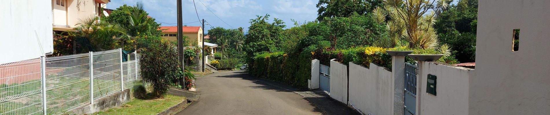
Trail Walking of 12.4 km to be discovered at Martinique, Unknown, Le Lorrain. This trail is proposed by Lamartiniere.
Photos


Positioning
Country:
France
Region :
Martinique
Department/Province :
Unknown
Municipality :
Le Lorrain
Location:
Unknown
Start:(Dec)
Start:(UTM)
709326 ; 1640462 (20P) N.
Comments